We discuss the worldwide rise of resistance; the bizarre state of politics; Palestine and Zionism; smart phones and citizen journalism — and we turn the tables on the birthday boy.
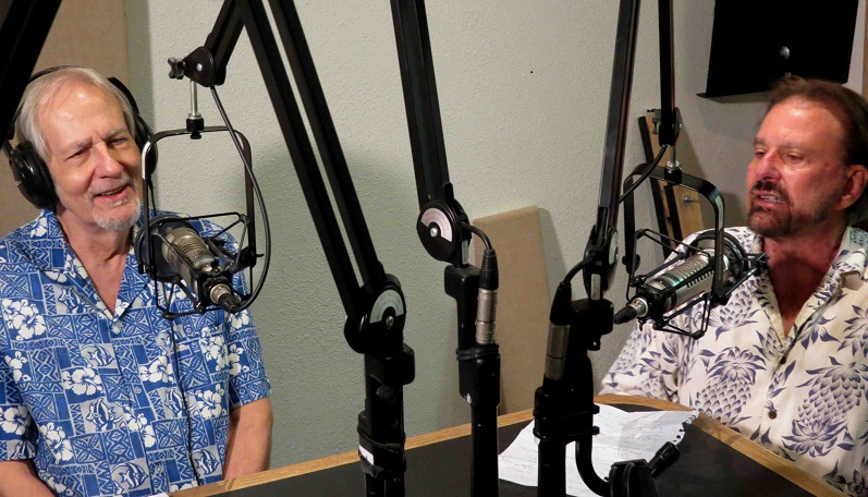
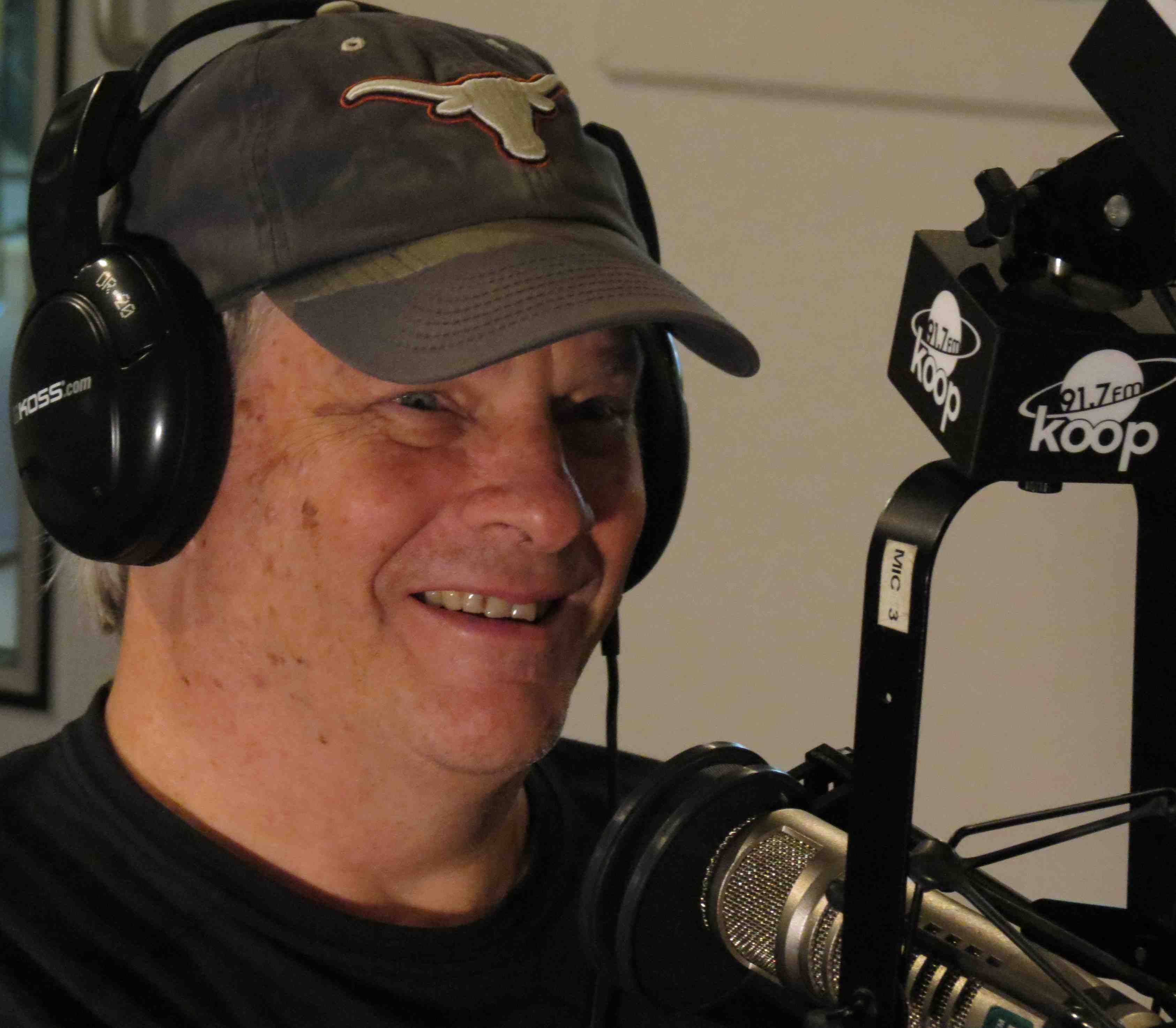
Old colleagues from the underground press: Jeff Nightbyrd, right, interviews Rag Blog editor/Rag Radio host Thorne Dreyer, July 31, 2015, at the KOOP studios in Austin. Photo by Roger Baker / The Rag Blog.
The following podcasts are from recent Rag Radio shows. The syndicated Rag Radio, produced in the studios of Austin’s cooperatively-run KOOP-FM, has an international audience and has become an influential platform for interviews with leading figures in politics, current events, literature, and cutting-edge culture.
∗ Political Scientist & Peace Activist Harry Targ on the Rise of Resistance Worldwide
 Read the show description and download the podcast of our August 21, 2015 Rag Radio interview with Harry Targ here — or listen to it here:
∗ Political Analyst Glenn Smith on the Bizarre State of U.S. Politics, plus The Rag Blog’s Roger Baker
 Read the show description and download the podcast of our August 14, 2015 Rag Radio show with Glenn Smith and Roger Baker here — or listen to it here:
Continue reading