Ian McShane is simply splendiferous as roguish, slightly shady antiques dealer Lovejoy in this fun series that teaches viewers a lot about old stuff.
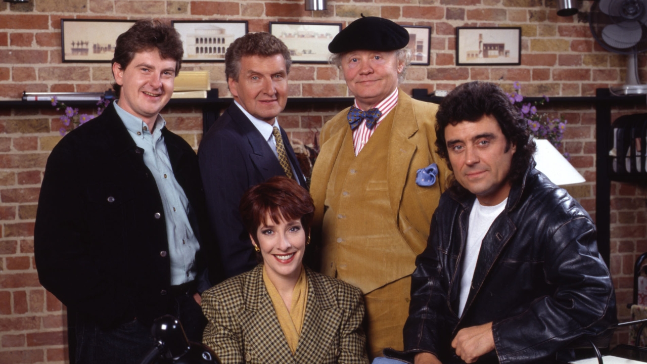
The cast of Lovejoy. Ian McShane is on right.
[In his weekly column, Alan Waldman reviews some of his favorite films and TV series that readers may have missed, including TV dramas, mysteries, and comedies from Canada, England, Ireland, and Scotland. Most are available on DVD and/or Netflix, and some episodes are on YouTube.]
Ian McShane won scads of awards for and was mesmerizing as a kinky saloon/brothel owner in David Milch’s brilliant American TV series Deadwood, but he was sweeter, more charming and way less dark in 73 episodes of the great 1986-1994 British antiques crime-mystery series Lovejoy. Six seasons and 68 episodes are on Netflix, and many appear for free on You Tube. Here’s one.
Continue reading